Bannerghatta Road Distance
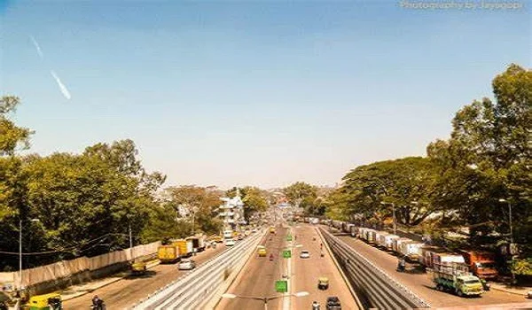
If you’ve been wondering about the Bannerghatta road distance from Bangalore, here’s the quick answer — it’s roughly 24 km from Majestic to Bannerghatta National Park, and the entire road itself is close to 49 km long. This stretch is on the south side of Bangalore, and it’s not just about the distance… it’s about where it takes you — malls, colleges, tech parks, and, of course, the park.
Let’s start with the bus — because honestly, that’s how most people do this trip.
- A regular BMTC bus ticket from Majestic to Bannerghatta will set you back ₹16–23.
- If you take an AC Vajra service, expect ₹45–55.
- Travel time? In good traffic, maybe an hour. On a bad day… you’ll be counting more than 75 minutes.
Tip from locals: BMTC route 365 is your friend. It’s cheap, fairly frequent, and takes you right there without complicated changes.
Here’s something people often mix up — the park is on Bannerghatta Road, but the road doesn’t end there.
- It begins near Adugodi/Dairy Circle and runs all the way to Anekal.
- Total length: About 49 km.
- Landmarks along the way? IIM Bangalore, Meenakshi Mall, the NICE Road junction, and clusters of IT offices in Jigani.
The road is part of Karnataka’s State Highway 87, so it’s more than just a city street — it’s a lifeline to the south.
Straight up — it’s in the southern part of the city. Think of areas like Jayanagar, JP Nagar, Hulimavu, and Arekere as the neighborhoods it touches. This is also why it’s a busy corridor — students, office-goers, and tourists all use it. Plus, it’s the gateway to Bannerghatta National Park, one of Bangalore’s most visited weekend spots.
Now, here’s the thing — Bannerghatta road distance by train isn’t really a thing. There’s no station right at the park or on the road.
- The nearest big railway stop is KSR Bengaluru City Station, about 24 km away from the park.
- From there, you’ll need a bus, cab, or auto.
So, unless you’re coming from outside Bangalore, skip the train idea and just use a bus or car.
When people talk about the Bangalore to Bannerghatta distance, they usually mean from central Bangalore to the park.
- Distance: About 24 km from Majestic.
- Drive time: 45–60 minutes off-peak, 70+ minutes if you’re unlucky with traffic.
If you’re starting from a place like Electronic City, it’s much shorter, but from Hebbal… well, pack snacks.
Bannerghatta Road might be just one stretch of highway, but it’s an important one — connecting the city to its green escape. Whether you take a ₹16 BMTC bus or drive yourself, knowing the Bannerghatta road distance from Bangalore makes planning easier. And if you’re heading to the park, leave early — this is Bangalore, after all.
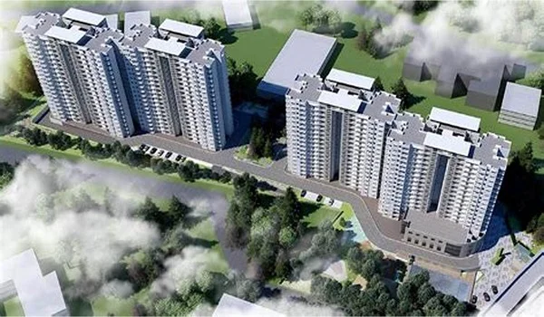
Prestige Group prelaunch apartment is Prestige Park Ridge.
Prestige Park Ridge Blog
| Enquiry |
